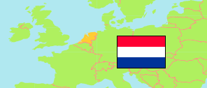
Neder-Hardinxveld
Municipal District in Randstad South Conurbation
Contents: Subdivision
The population in Neder-Hardinxveld as well as related information and services (Wikipedia, Google, images).
| Name | Status | Population Estimate 2022-01-01 | |
|---|---|---|---|
| Neder-Hardinxveld | Municipal District | 5,100 | |
| Bedrijventerrein Langeveer | Neighborhood | 145 | → |
| Bedrijventerrein Nieuweweg | Neighborhood | 45 | → |
| Centrum | Neighborhood | 360 | → |
| De Sluisweg | Neighborhood | 435 | → |
| Giessenzoom | Neighborhood | 10 | → |
| Parallelweg | Neighborhood | 345 | → |
| Wielwijk-noord | Neighborhood | 1,255 | → |
| Wielwijk-zuid | Neighborhood | 2,505 | → |
| Randstad Zuid (Rotterdam - Den Haag - Dordrecht - Leiden) [Randstad South] | Conurbation | 3,354,555 |
Source: Statistics Netherlands (web).
Explanation: Composition by »City Population«.