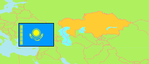
Tekeli
City with Environs in Kazakhstan
Contents: Population
The population development of Tekeli as well as related information and services (Wikipedia, Google, images).
| Name | Status | Native | Population Census 1999-02-14 | Population Census 2009-02-25 | Population Census 2021-10-01 | Population Estimate 2023-01-01 | |
|---|---|---|---|---|---|---|---|
| Tekeli | City with Environs | Текелі Қ.Ә. | 25,201 | 27,122 | 30,269 | 31,322 | |
| Qazaqstan [Kazakhstan] | Republic | Қазақстан | 14,981,281 | 16,009,597 | 19,186,015 | 19,766,807 |
Source: The Agency of Statistics of the Republic of Kazakhstan.
Explanation: Area and density figures of districts are computed using geospatial data. Transliteration according to the Presidential Decree of 19 February 2018.
Further information about the population structure:
| Gender (E 2022) | |
|---|---|
| Males | 14,386 |
| Females | 17,015 |
| Urbanization (E 2022) | |
|---|---|
| Rural | 1,000 |
| Urban | 30,401 |