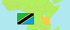
Bagamoyo
District in Coastal Tanzania
Contents: Subdivision
The population in Bagamoyo as well as related information and services (Wikipedia, Google, images).
| Name | Status | Population Census 2022-08-23 | |
|---|---|---|---|
| Bagamoyo | District | 205,478 | |
| Dunda | Mixed Ward | 16,587 | → |
| Fukayosi (Fukayose) | Rural Ward | 17,011 | → |
| Kerege | Mixed Ward | 19,814 | → |
| Kiromo | Mixed Ward | 14,454 | → |
| Kisutu | Mixed Ward | 7,772 | → |
| Magomeni | Urban Ward | 16,530 | → |
| Makurunge | Mixed Ward | 11,820 | → |
| Mapinga | Mixed Ward | 42,543 | → |
| Nianjema | Mixed Ward | 25,260 | → |
| Yombo | Rural Ward | 11,102 | → |
| Zinga | Mixed Ward | 22,585 | → |
| Coastal | Zone | 13,434,754 |
Source: National Bureau of Statistics Tanzania.
Explanation: Area figures are derived from geospatial data.