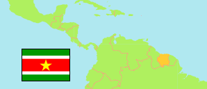
Brokopondo
District in Suriname
Contents: Subdivision
The population development in Brokopondo as well as related information and services (Wikipedia, Google, images).
| Name | Status | Population Census 2004-08-02 | Population Census 2012-08-13 | |
|---|---|---|---|---|
| Brokopondo | District | 14,215 | 15,909 | |
| Brokopondo Centrum | Commune | 2,854 | 4,482 | → |
| Brownsweg | Commune | 3,871 | 4,793 | → |
| Klaaskreek | Commune | 1,317 | 2,124 | → |
| Kwakoegron | Commune | 259 | 263 | → |
| Marchallkreeek | Commune | 1,001 | 1,171 | → |
| Sarakreek | Commune | 4,913 | 3,076 | → |
| Suriname | Republic | 492,829 | 541,638 |
Source: Algemeen Bureau voor de Statistiek in Suriname (web).