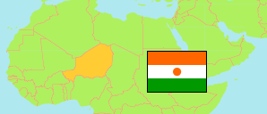
Zinder II
Arrondissement in Niger
Contents: Population
The population development of Zinder II as well as related information and services (Wikipedia, Google, images).
| Name | Status | Population Census 2001-05-20 | Population Census 2012-12-10 | |
|---|---|---|---|---|
| Zinder II | Arrondissement | 43,505 | 68,984 | |
| Niger | Republic | 11,060,291 | 17,138,707 |
Source: Institut National de la Statistique du Niger (web).
Explanation: Area figures are computed by using geospatial data.
Further information about the population structure:
| Gender (C 2012) | |
|---|---|
| Males | 34,969 |
| Females | 34,015 |
| Urbanization (C 2012) | |
|---|---|
| Rural | 6,269 |
| Urban | 62,715 |