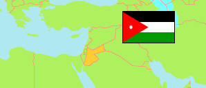
'Ayy
District in Karak Governorate
District
The population development of 'Ayy .
| Name | Native | Status | Population Census 1994-12-10 | Population Census 2004-10-02 | Population Census 2015-11-30 | |
|---|---|---|---|---|---|---|
| 'Ayy [Ayy] | عي | District | ... | 9,711 | 8,152 | → |
| Al-Karak [Karak] | الكرك | Governorate | 169,770 | 204,185 | 316,629 |
Contents: Localities
The population development of the localities in 'Ayy .
| Name | Native | Status | District | Population Census 1994-12-10 | Population Census 2004-10-02 | Population Census 2015-11-30 | |
|---|---|---|---|---|---|---|---|
| 'Ayy [Ayy] | عي | Rural Locality | 'Ayy | 6,010 | ... | 4,022 | → |
| Jawzā [Joza] | جوزا | Rural Locality | 'Ayy | 1,254 | ... | 1,467 | → |
| Kathrabbā [Kathrabba] | كثربا | Rural Locality | 'Ayy | 2,931 | ... | 2,663 | → |
Source: Department of Statistics, Jordan (web).
Explanation: Area and density figures are computed using geospatial data.