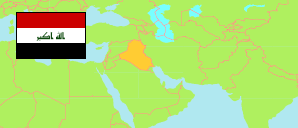
Dārhtūū
Subdistrict in Iraq
Contents: Population
The population development of Dārhtūū as well as related information and services (Wikipedia, Google, images).
| Name | Status | Native | Population Estimate 2009-10-17 | Population Estimate 2018-07-01 | |
|---|---|---|---|---|---|
| Dārhtūū [Daretû] | Subdistrict | دارةتوو | 50,249 | 60,851 | |
| Al-'Irāq [Iraq] | Republic | 31,664,466 | 38,124,182 |
Source: Central Organization for Statistics and Information Technology (web).
Explanation: Area figures of subdistricts are computed by using geospatial data.
Further information about the population structure:
| Gender (E 2018) | |
|---|---|
| Males | 30,735 |
| Females | 30,116 |
| Urbanization (E 2018) | |
|---|---|
| Rural | 7,154 |
| Urban | 53,697 |
