New Zealand
Aotearoa
National
-
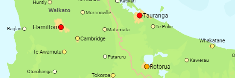
Regions & Major Urban Areas
The main islands and regional council areas as well as all urban areas with at least 2,500 inhabitants.
1996, 2001, 2006, 2013, 2018, 2023, 2025 estimate
-
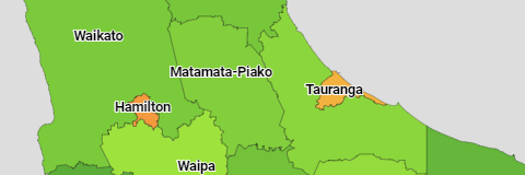
Council Areas
The population of the district council areas and city council areas of New Zealand.
1996, 2001, 2006, 2013, 2018, 2023, 2025 estimate
-

Islands: All Urban Areas and Rural Settlements
1996, 2001, 2006, 2013, 2018, 2023, 2025 estimate
Urban Agglomerations: Statistical Areas (Level 2)
1996, 2001, 2006, 2013, 2018, 2023, 2025 estimate